
Findry field records
Underground Utility & Jobsite Records
Document the work now so the details are easier to find later.
Findry helps contractors and field crews document buried pipes, underground utility installations, measurements, photos, reference points, warnings, and field notes. Records stay organized by project so important jobsite information is easier to find when you return to the work later.
Field documentation
Keep buried utility details with the project they belong to.
Document buried pipes and utilities
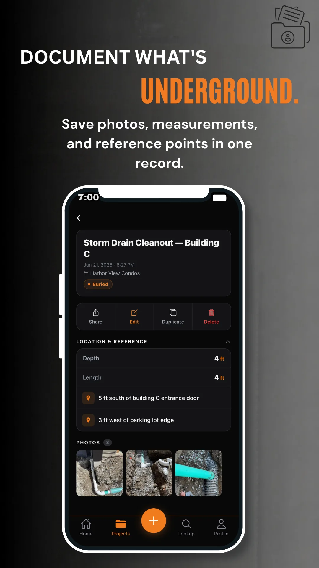
Save pipe sizes, materials, depths, measurements, valve information, warnings, photos, and notes after installation or repair work.
Save reference measurements
Record distances and reference points from visible jobsite features so a saved location is easier to understand when the project is revisited.
Organize records by project
Keep field records attached to the correct project instead of scattering measurements, photos, and notes across notebooks and camera rolls.
Find it later
Search the record when the job brings you back.
Use project details, record titles, utility types, keywords, notes, and saved jobsite information to locate the record you need without relying on memory.
Documentation, not utility detection. Findry stores information entered by its users. It does not detect, verify, or professionally locate underground utilities, and it does not replace 811 or local utility-marking requirements.
Part of Findry
Field records, reference points, photos, and calculators in one app.
Findry combines project-based jobsite documentation with search, Find Later, Emergency Lookup, the Material Calculator, and the Truck Load Calculator.